.png)

Applications
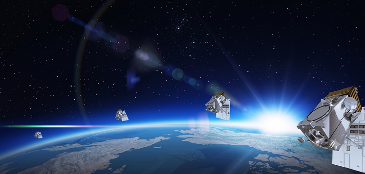
Satellite Imaging Corporation (SIC) specializes in satellite imaging collections, image processing, and producing seamless orthorectified mosaics, 3D Digital Elevation Models (DEMs), and 3D Digital Terrain Models (DTM) for many industries using CAD and GIS applications utilizing mono and stereo satellite map data.
Our team is experienced in specialized image processing techniques, geographic information system (GIS), global positioning system (GPS), and geodesy and provide feature extraction and supplementation of satellite image data to a broad spectrum of industries, including:

Industries

Consultancy
Ongoing Satellite remote sensing and GIS consultancy services are provided to our clients, including the set-up of reliable source coordinate databases in support of computerized mapping, exploration, and development of projects around the world and to clients implementing AI/ CV or GIS management systems, utilizing a variety of source data. For more information or for a consultation, please contact us.


FAQ’S
Frequently Asked Questions